Photo Page 1
![]()
![]()
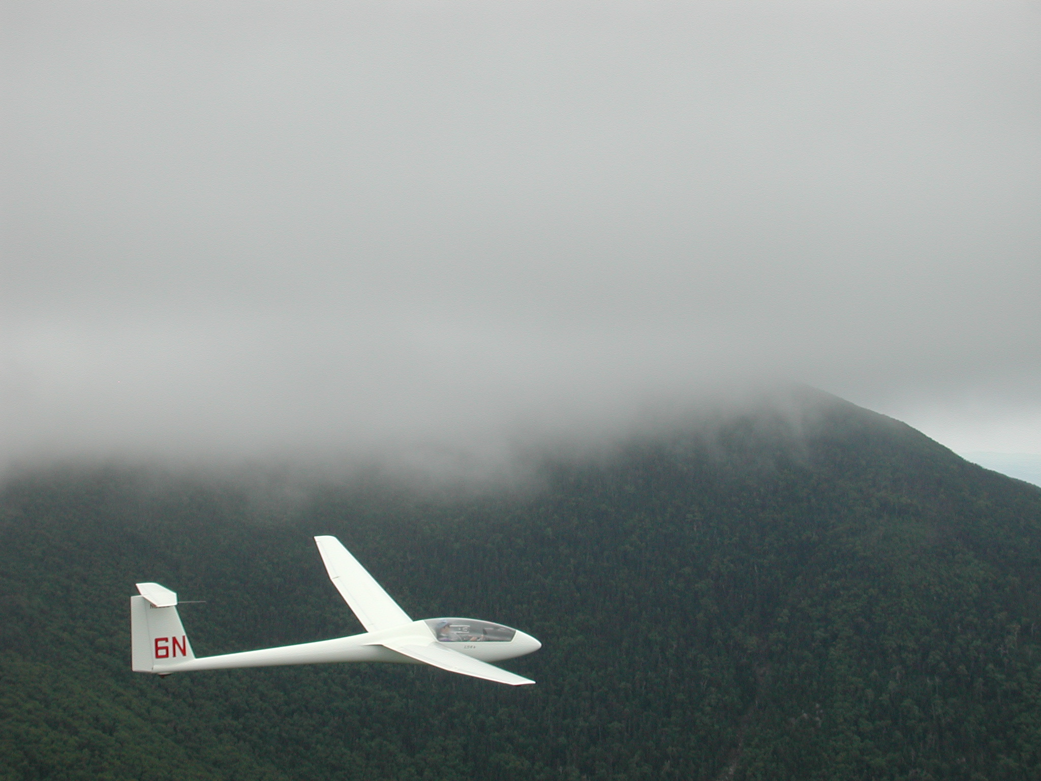 |
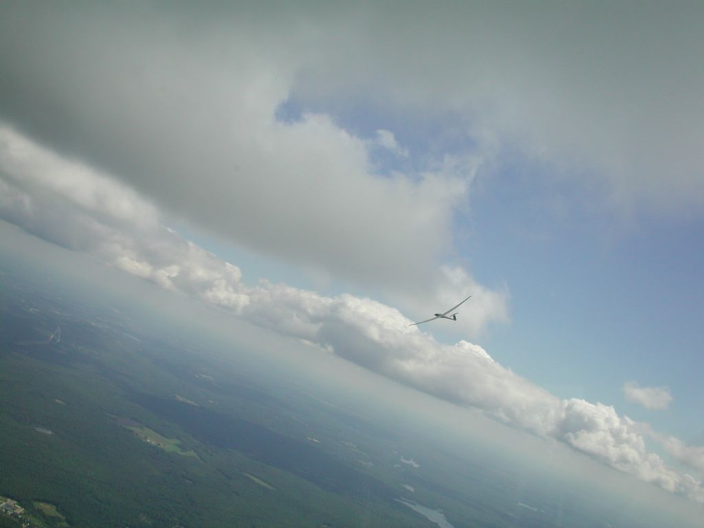
Me in my LS6-b while soaring the Kinsman ridge in Franconia NH on 01 Sep 01. Photo by Rick Roelke flying HpH 304CZ "RR". |
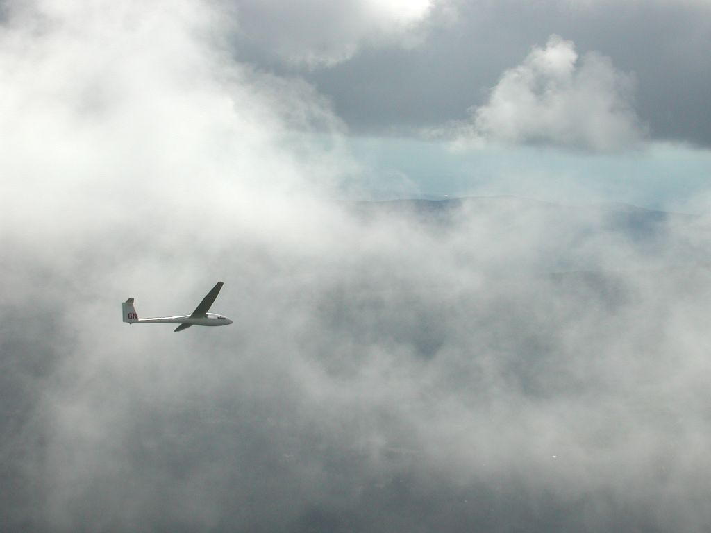 |
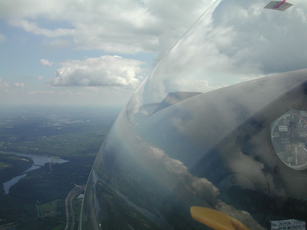
Another shot on the same flight. The clouds were low and the ridge was working (producing lift) and so I had to work to keep from getting lifted up into the clouds. This meant flying at speeds up to 110 knots (126 mph) at times and/or deploying spoilers. Photo by Rick Roelke flying HpH 304CZ "RR". |
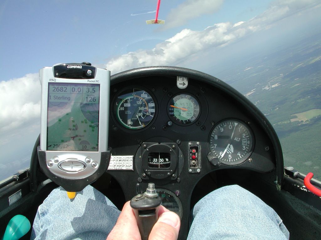 |
Cockpit shot over central Massachusetts on 17 Jul 03. The PDA is connected to a GPS/logger (Cambridge Aero Instruments 302). The PDA runs Glide Navigator II and provides navigation, wind, and glide information. |
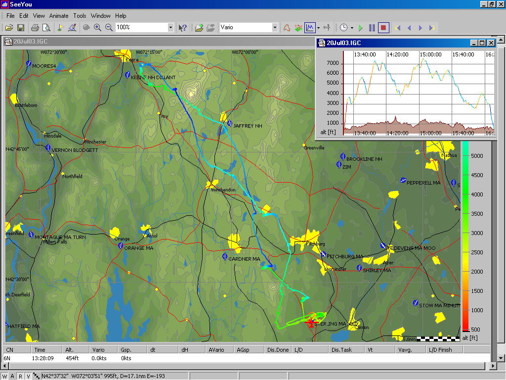 |
The GPS data is stored in a secure logger. The log can't be tampered with and is used for record claims, contests, and various badges. Here's the trace of a pretty short flight during the summer of 03. There's a story behind this flight. The day looked promising and many club members were attempting 300 kilometer (190 mile) out and return flights. I got to Keene, New Hampshire and saw high cirrus clouds moving in - chickened out and headed home (140km/86miles out and return). Two other pilots near me pressed on to Claremont, NH and didn't make it back - having to land at another airport when the lift died. Another pilot just 20 minutes behind me wound up landing at Jaffrey NH (see picture). The PC display software is SeeYou. |
 |
"There's no place like cloud base". Sharing a thermal with Rick Roelke flying HpH 304CZ "RR" on 17 Jun 03. Flying close to other gliders is very common when thermalling and the (slight) risk of mid-air collisions is why many of us wear parachutes. When using thermals as the lift source, cloud base is typically as high as you can get. |
 |
City of Worcester MA - 17 Jun 03. I held the camera out the side vent window to get this shot. |
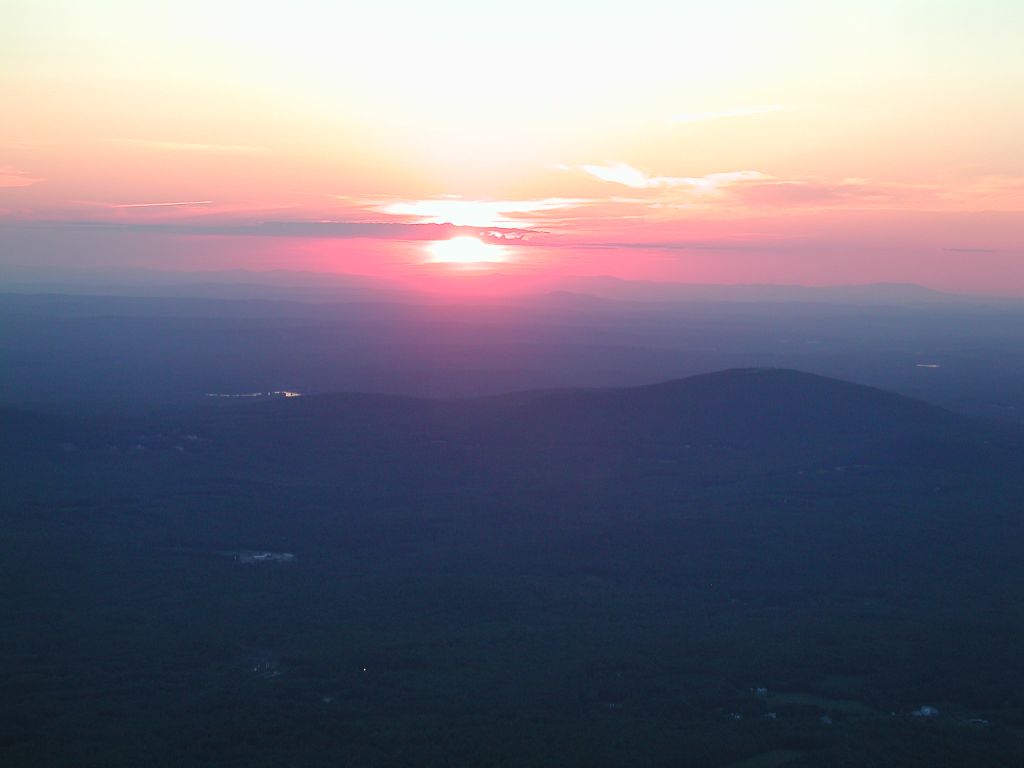 |
Evening instructional flight in an L23. My student, Gary Laughlin, was flying. Mt Wachusett (central MA, USA) in middle right. |
![]()
![]()